Hybrid Project LLC and Lucint Systems Test Fly Large Area Mapping UAV.
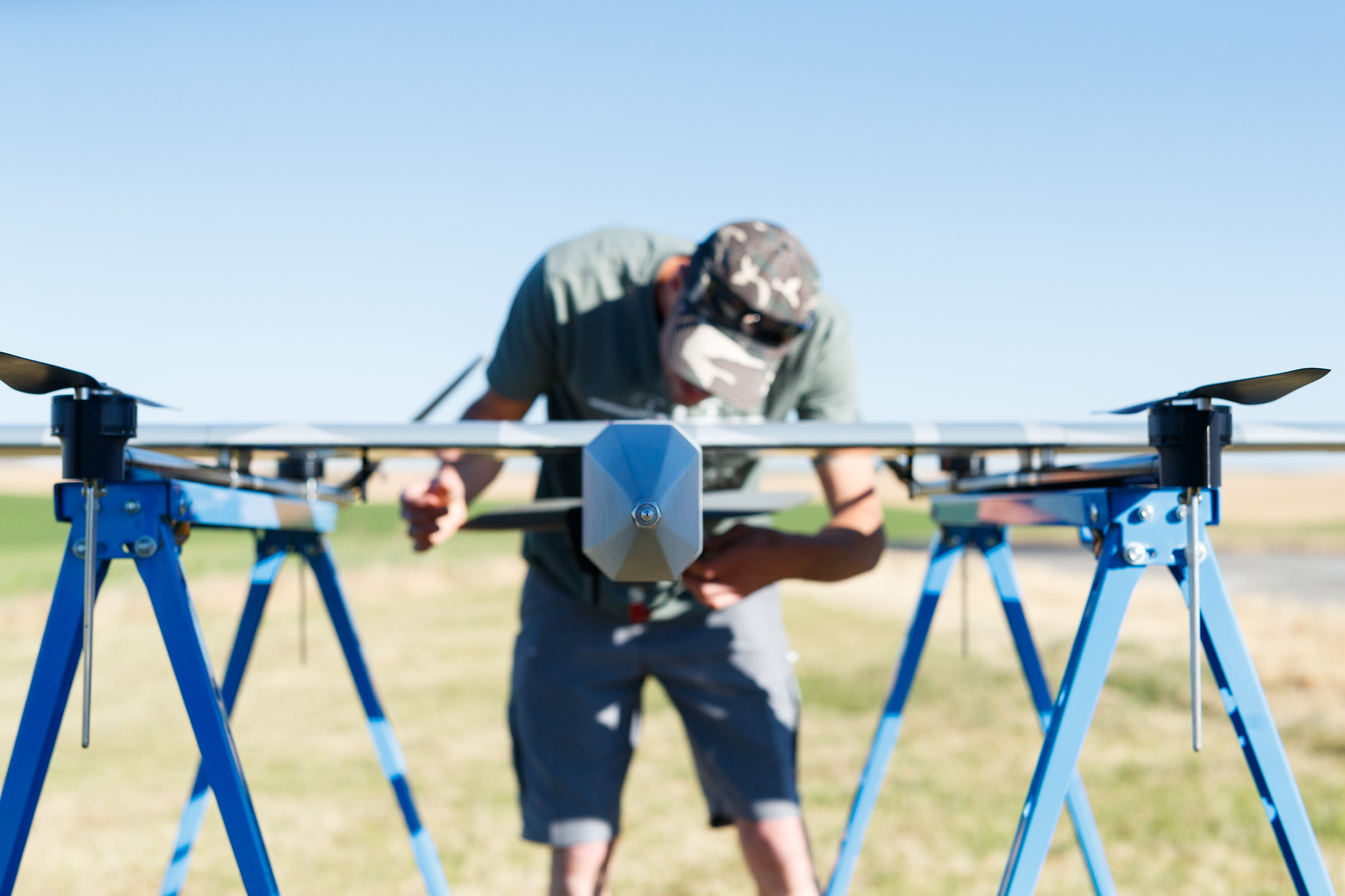
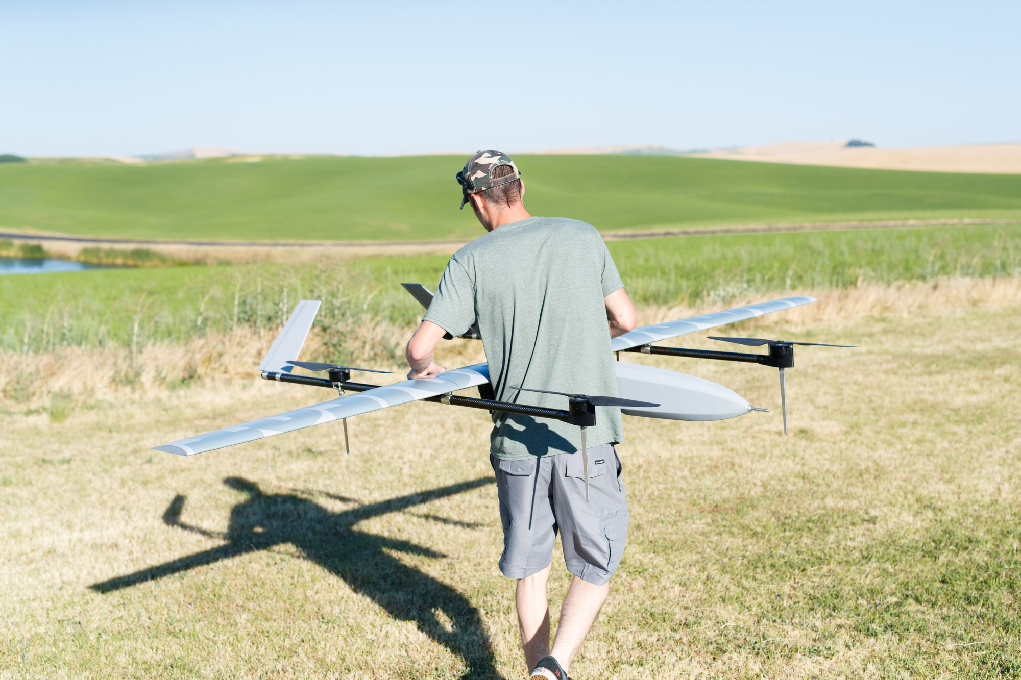
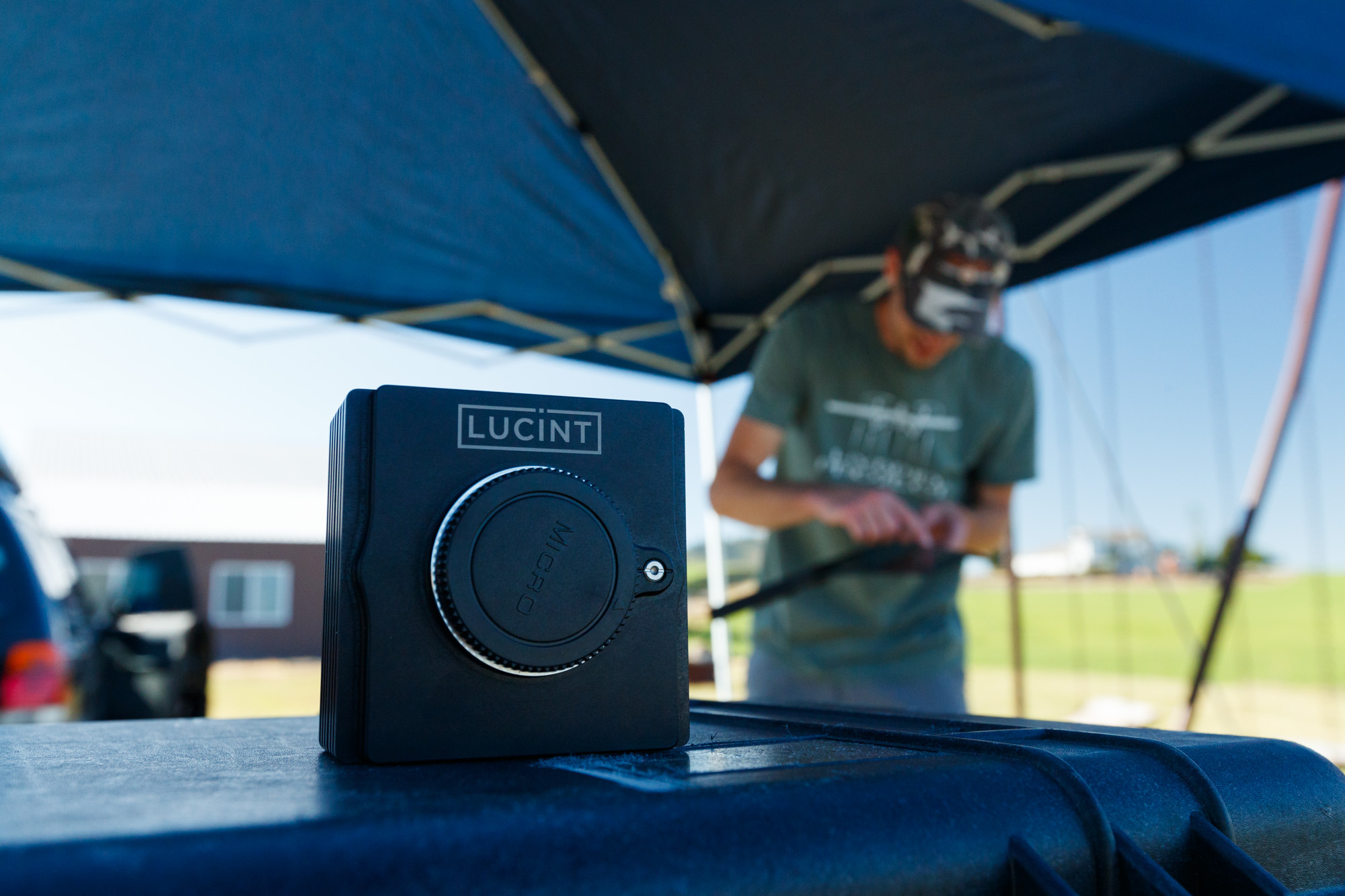
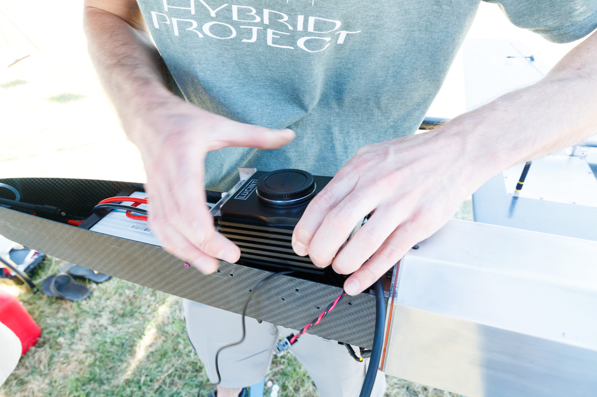
Hybrid Project LLC and Lucint Systems, Inc. are pleased to announce the successful test flying and excellent data gathering capabilities of a HP2 airframe carrying a Lucint12 Vision camera.
Over multiple flights, the aircraft/sensor combination consistently mapped 400 acres (1.6 km²) in roughly 20 minutes, with 1 in (2.5 cm) resolution, while staying under the 400 ft AGL altitude limit in the US. This potent package is capable of mapping 2,000 acres (8 km²) per hour.
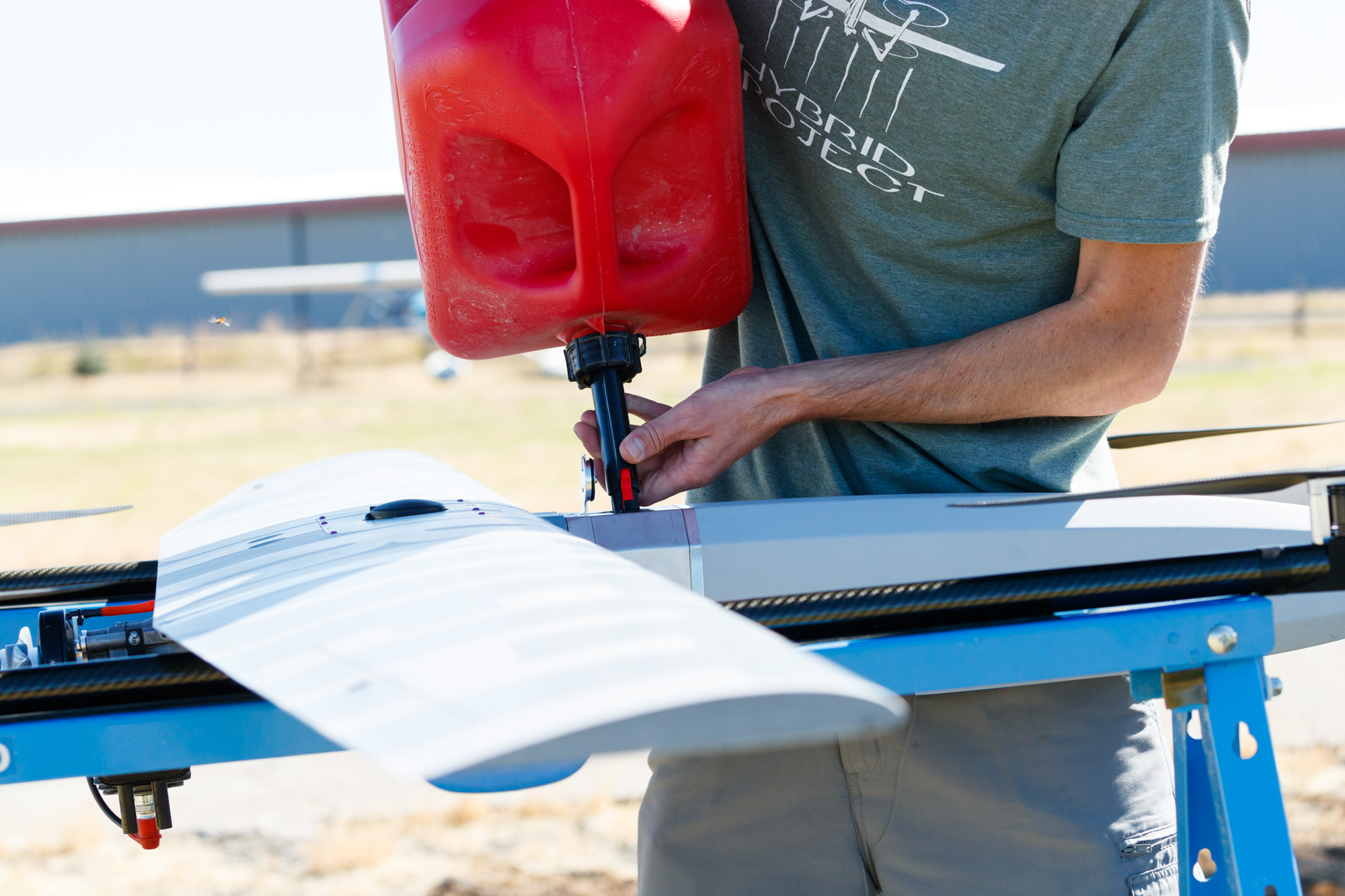
The HP2’s VTOL capabilities and hybrid power plant with on-board motor starter and generator allows the aircraft to launch from nearly anywhere and fly up to 6 hours on its 1 gallon fuel tank. Flight batteries are recharged and kept topped off during the flight. Upon landing, the HP2 only needs a quick refuel with regular, pre-mixed gasoline, and it is ready for another mission.
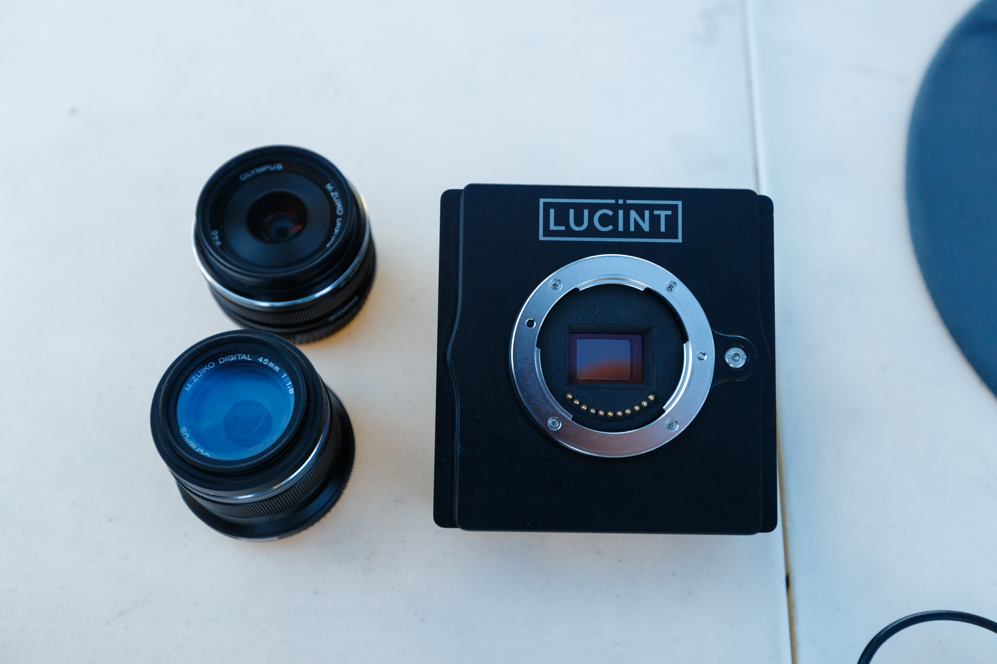
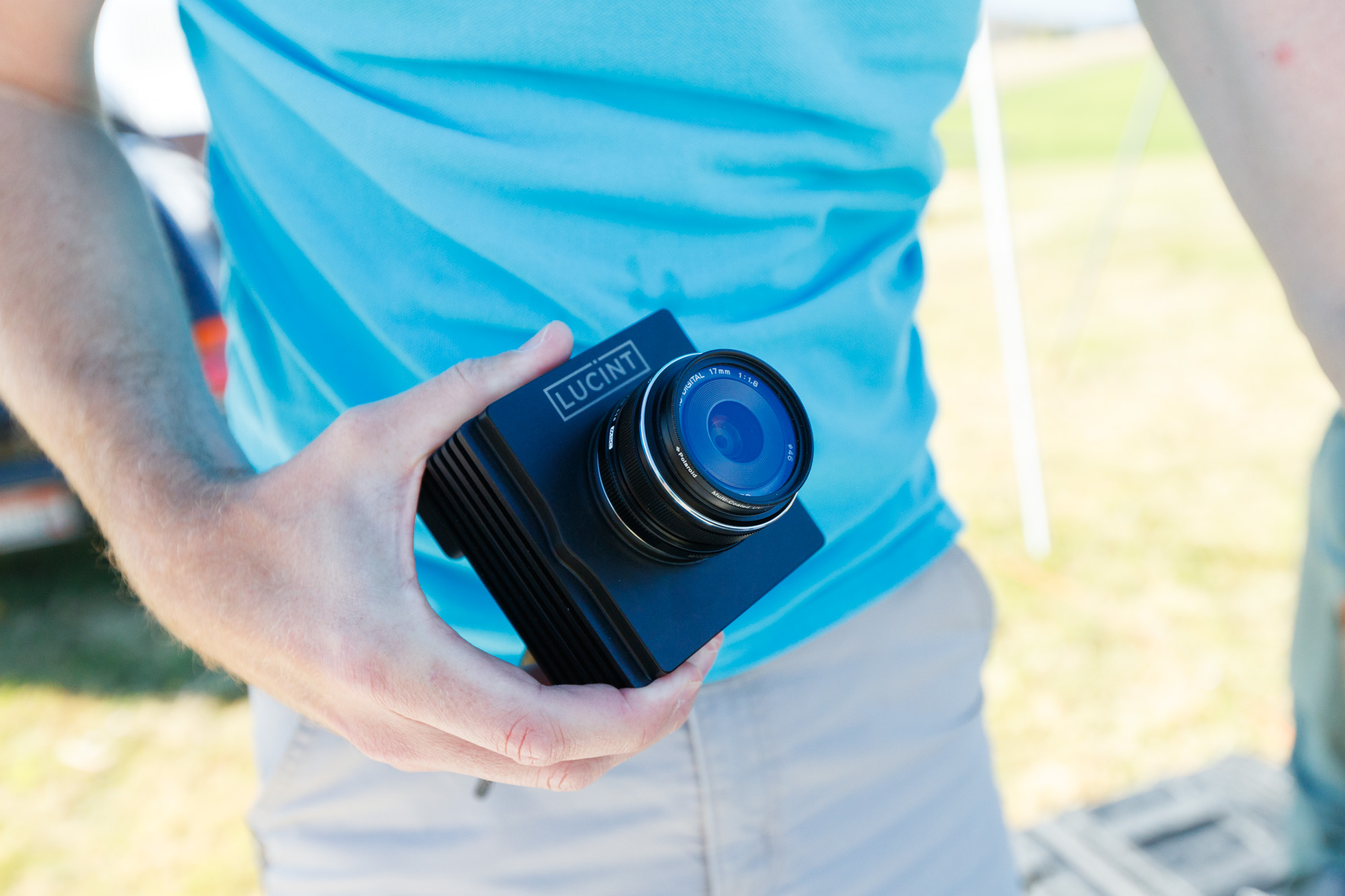
Lucint 12 Vision
The Lucint12 Vision camera accommodates Micro Four Thirds lenses with a wide selection of focal lengths, so higher resolutions, or even more efficient mapping, can be achieved simply by swapping lenses and reprogramming the flight plan. Up to a terabyte of internal storage and built-in image processing allows the camera to manage data from the full five-hour flight endurance of the HP2.
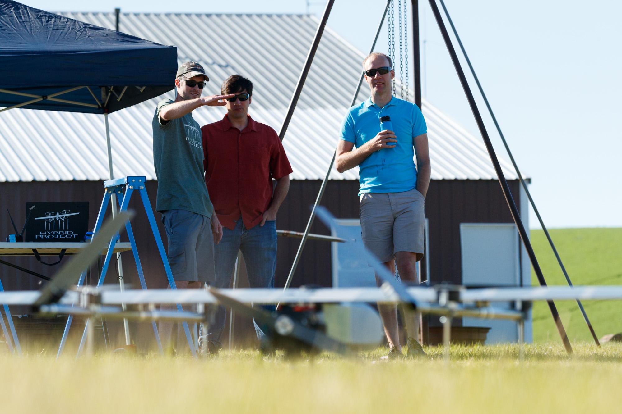
“Our relatively fast UAV works best with a with a camera that can capture images very quickly to prevent blurring, but also lets enough light in to maintain the proper exposure.” said Ryan Pope of Hybrid Project “It also needs the power to rapidly process the images and enough onboard storage to accommodate our 5 hour flight capability. The Lucint12 Vision Camera does this and more. We don’t know of any other UAV company that can offer similar mapping performance for the cost and are excited to see how this package can benefit the industry.”
Lucint Systems will introduce a multispectral single camera unit in 2019, further increasing the mapping capabilities of the HP2.
Both the HP2 UAV and the Lucint12 Vision camera are available for purchase now. Please visit www.hybridproject.com and www.lucintsystems.com for more information or to contact a representative from either company.
Photos by Ben Herndon ( www.benherndon.com )
